Islamabad to Babusar Top Distance and Travel Options
Babusar Top is a high mountain pass in the northern region of Pakistan, serving as a gateway to the beautiful Deosai National Park and connecting Kaghan Valley with Gilgit-Baltistan. Known for its breathtaking views and cool climate, Babusar Top is a favorite destination for tourists and adventure seekers. This article outlines the distance from Islamabad to Babusar Top and travel options.
Distance from Islamabad to Babusar Top
The road distance from Islamabad to Babusar Top is approximately 235 kilometers (146 miles). The route follows the Kaghan Valley road (N-15) and continues beyond Batakundi and Naran to reach Babusar Top.
Travel Options
By Road
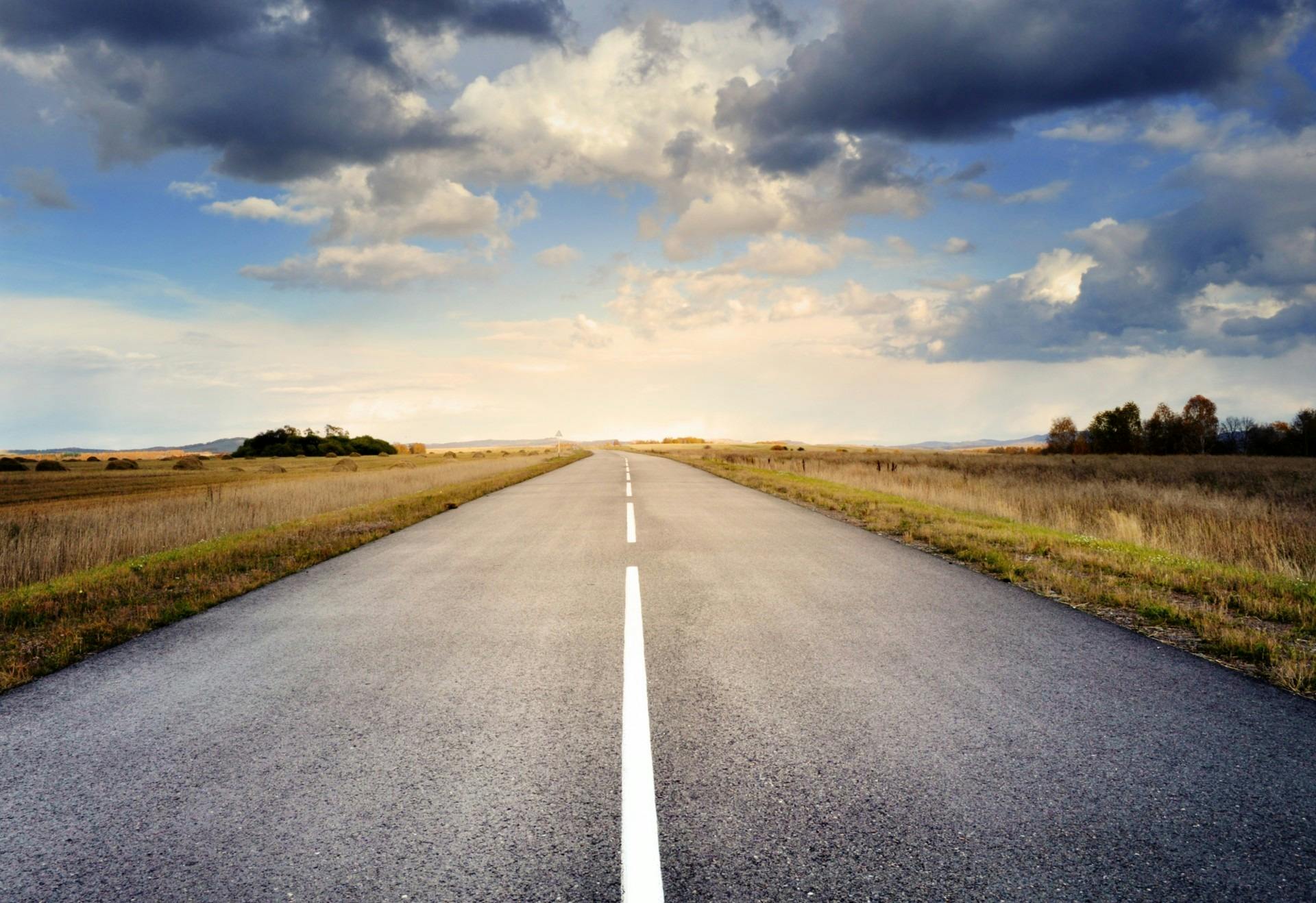
Travel by road is the only way to reach Babusar Top from Islamabad. The journey offers stunning landscapes as the road climbs higher into the mountains.
- Route: Islamabad → Murree → Balakot → Kaghan → Naran → Babusar Top
- Distance: ~235 km (146 miles)
- Duration: Approximately 6 to 7 hours depending on weather and road conditions.
Travelers should be prepared for winding mountainous roads and changing weather. The pass is usually open from late spring to early autumn, as heavy snow can close it in winter.
By Train
There is no train service to Babusar Top due to the challenging terrain and lack of railway infrastructure in this region.
By Plane
The nearest airport is Islamabad International Airport. There are no airports close to Babusar Top, so travelers must continue by road after flying into Islamabad.
Summary
Babusar Top can only be reached by road from Islamabad, covering approximately 235 kilometers in 6 to 7 hours. The route offers a scenic and adventurous journey through northern Pakistan’s mountains, making it a popular destination for nature lovers and travelers.


0 Comments